A History on the Land we call Home

Striking Landscapes meet Layered Histories
Nubra Valley has been a crossroad for civilizations for centuries. Its story begins long before the first recorded civilizations, with ancient petroglyphs scattered across the valley, offering glimpses of life as it was thousands of years ago.

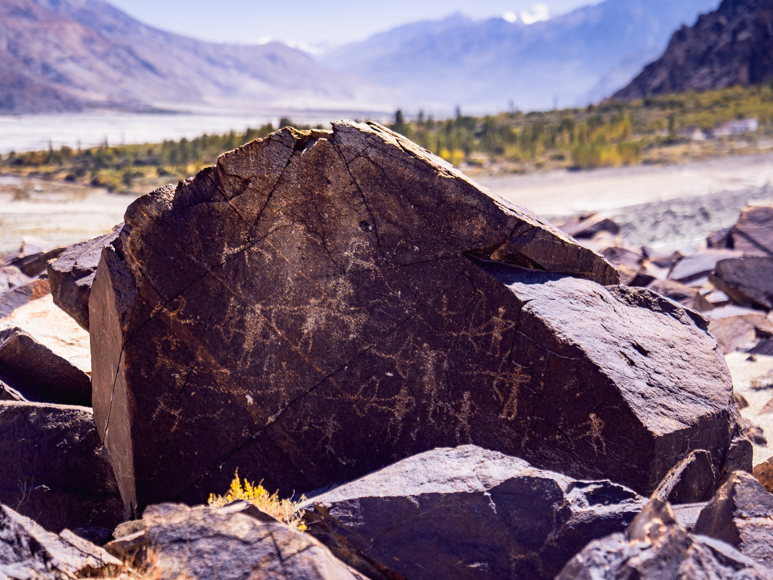
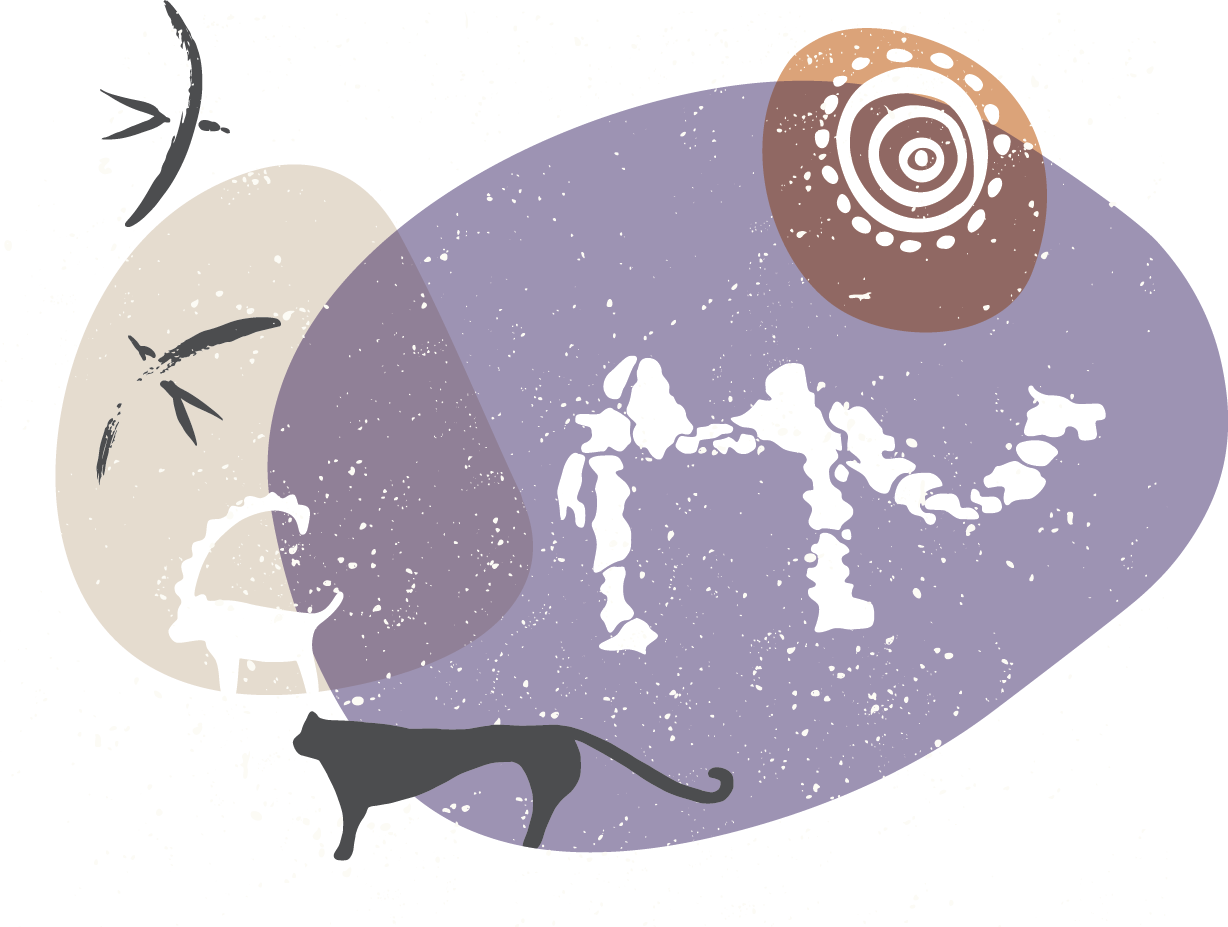
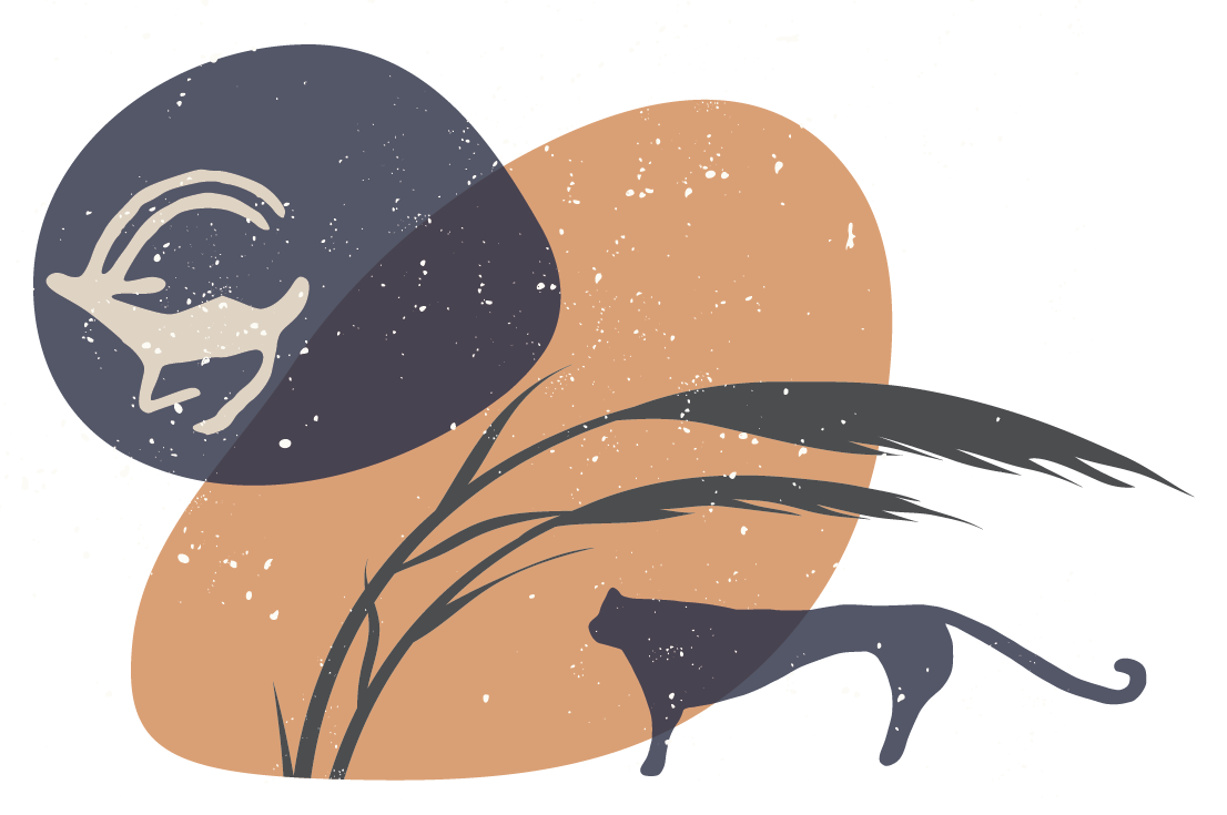
These timeless carvings, found in villages like Murgi and Tirisa, date back to the Bronze Age (3200 BC to 1200 BC) and depict Bactrian camels, ibexes, hunters, and sacred symbols. They remind us that long before Silk Route traders traversed this valley, nomadic tribes and early settlers roamed these rugged lands, leaving behind an enduring legacy.
An essential link in the Historic Silk Route
As history progressed into the 1st millennium CE, Nubra’s significance grew. Located on a key passage of the ancient Karakoram, once an essential link in the historic Silk Route, a vast trade network that connected the Chinese and Roman civilizations, Nubra became a vital stop for traders and pilgrims travelling from China to Central Asia, and further west towards Rome. Here, they found respite on their long journeys to the Tarim Basin, the central Asian towns of Yarkand and Kashgar, and enroute to Leh.
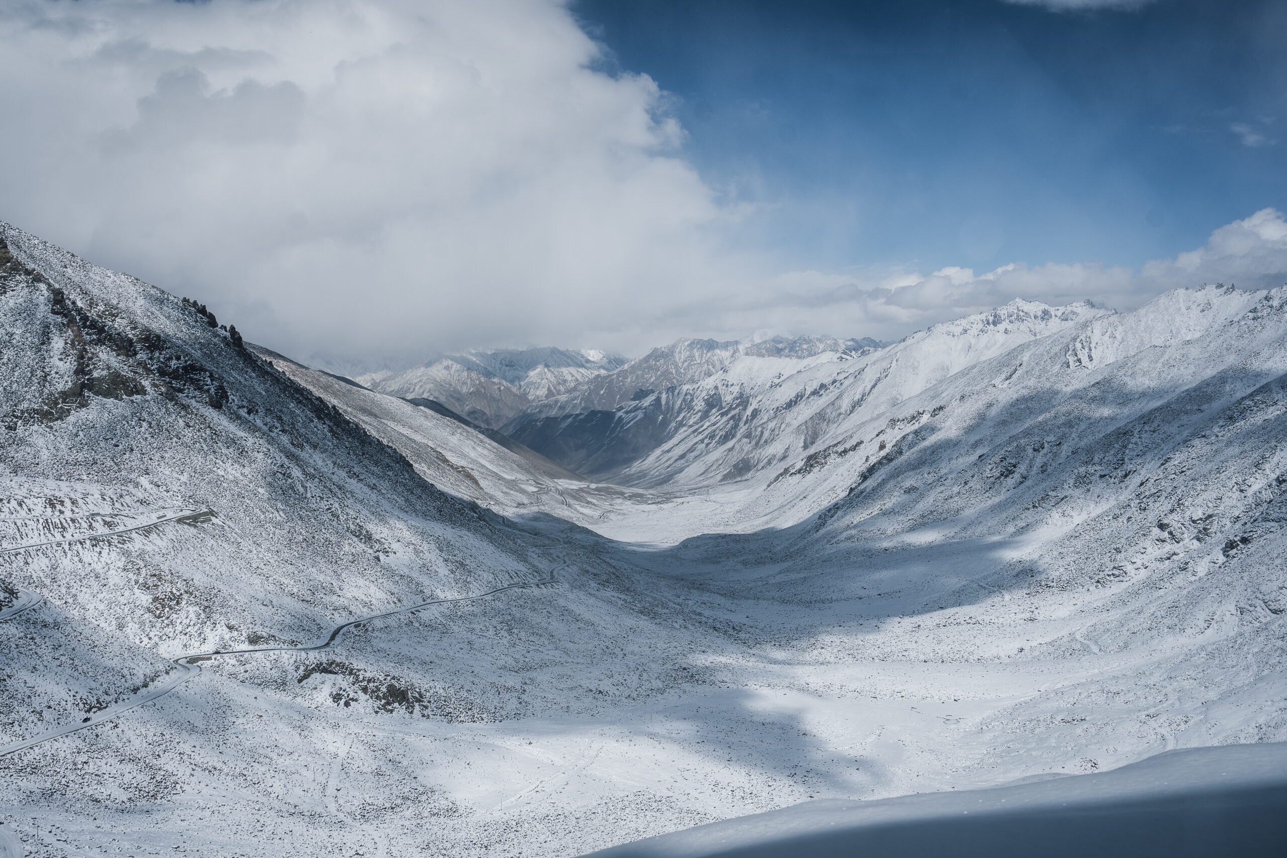
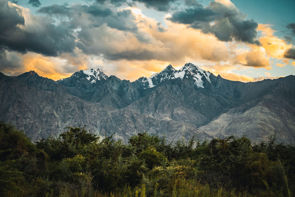
As one descends from Khardung La to access Nubra Valley, the landscape transforms dramatically. The winding roads, framed by steep cliffs, lead into a vast expanse. As winter arrives, Snow blankets the peaks, lending a serene white glow, and one gets a feel of nature’s sheer scale and beauty as it shifts into the colder season.

<Grazing lands?>
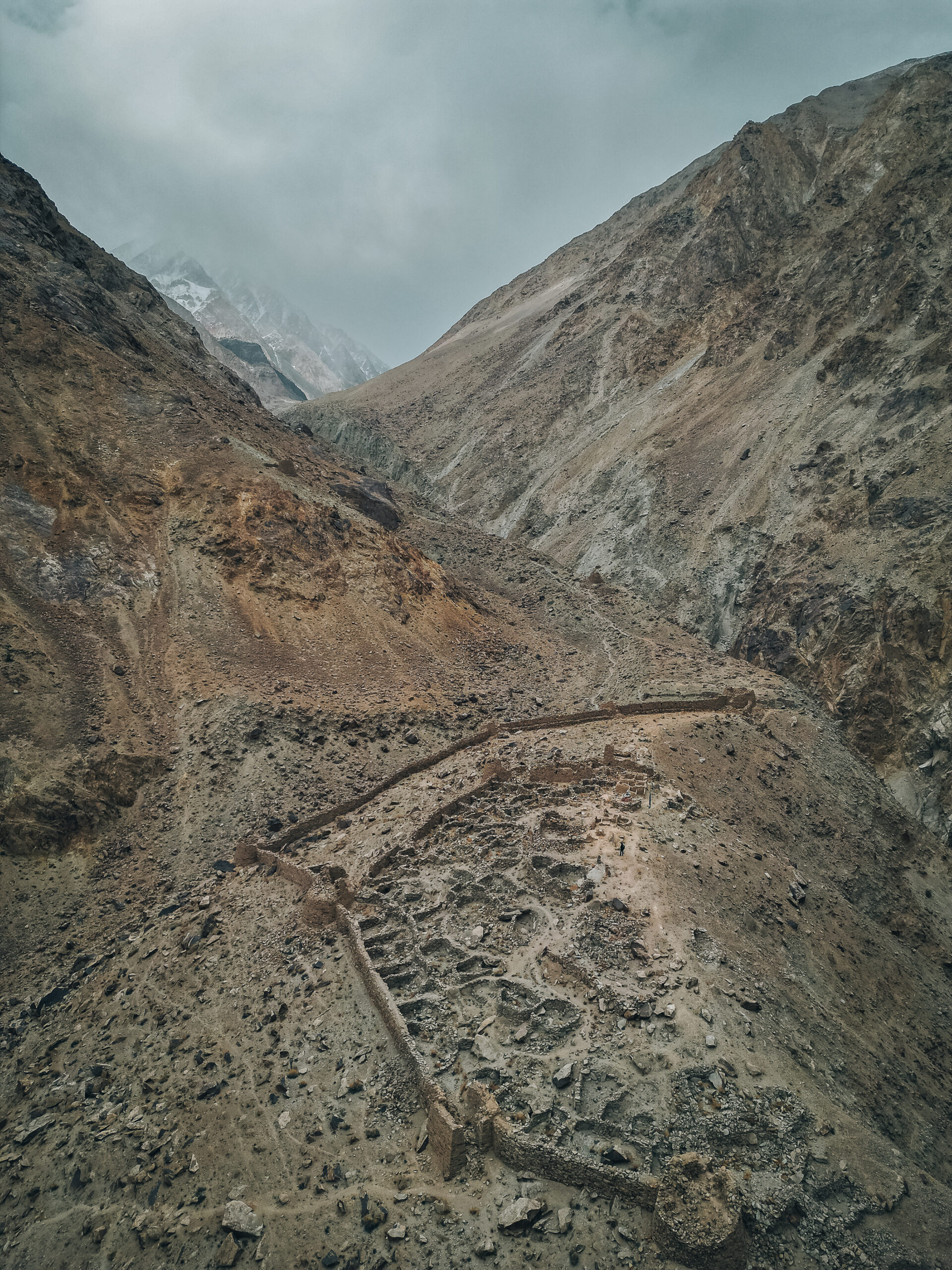
The ruins of Sogma Khar, one of the most stunning fortresses of Ladakh can be seen alongside an Important route that likely once went through the valley of Sumur Phu and over the mountain to reach the Upper Shyok valley at a place known as Jurgolok or Yarghuluk.
Nubra valley was also part of a route linking eastern Ladakh directly to Skardu in Baltistan. Bactrian camels, believed to be imported from Mongolia, were used to transport pashmina, spices, tea, and precious stones across this breathtaking landscape. The valley served as a sanctuary for weary travellers and their livestock, offering fertile grazing lands and rest before continuing their treacherous journeys.

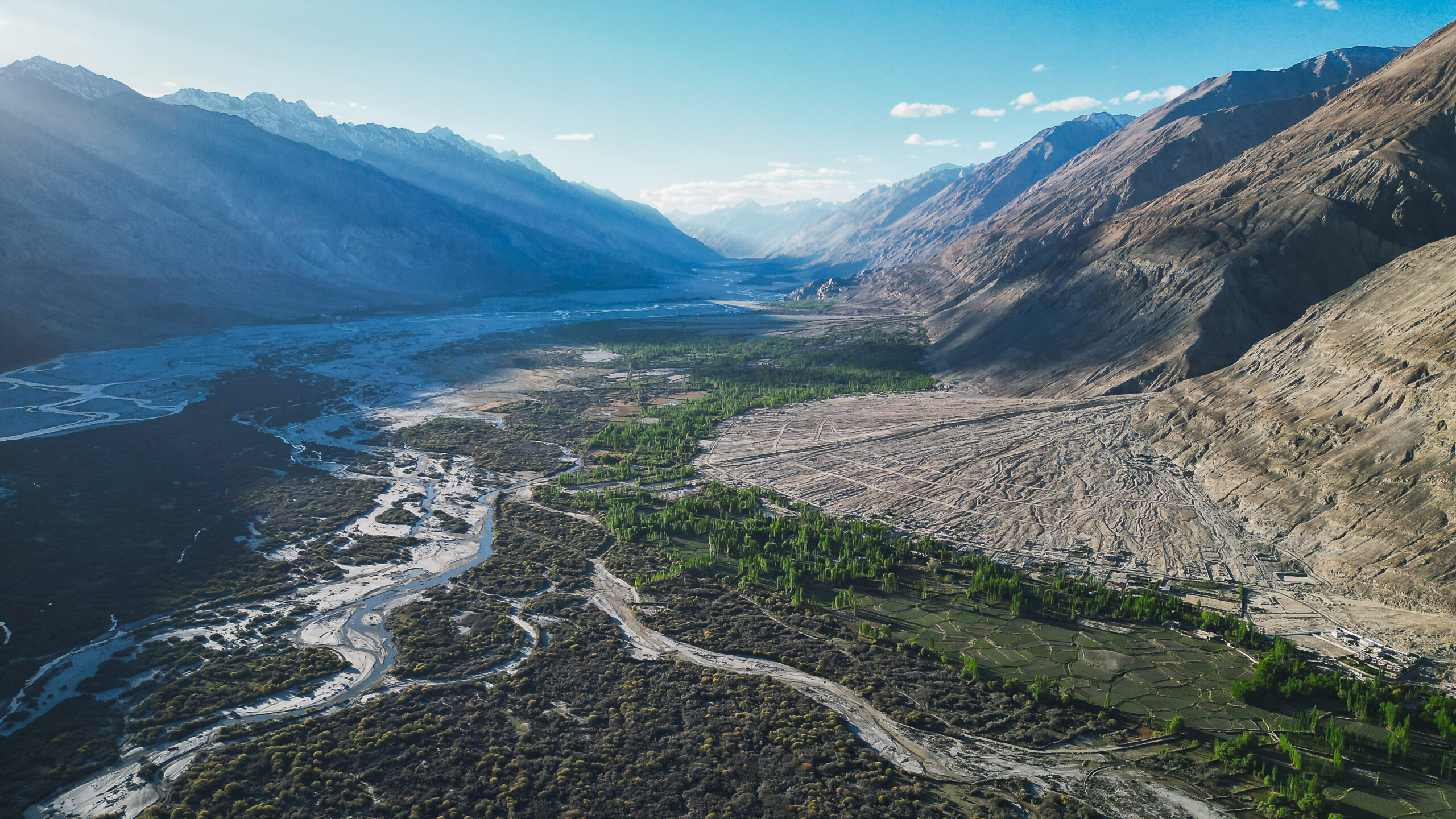
The village of Kyagar, today home to the luxury retreat of the same name, once thrived as a critical stop on this ancient trading network. Its fertile lands, abundant with alfalfa, provided crucial sustenance to travellers’ livestock.
Local folklore on “Kyagar”
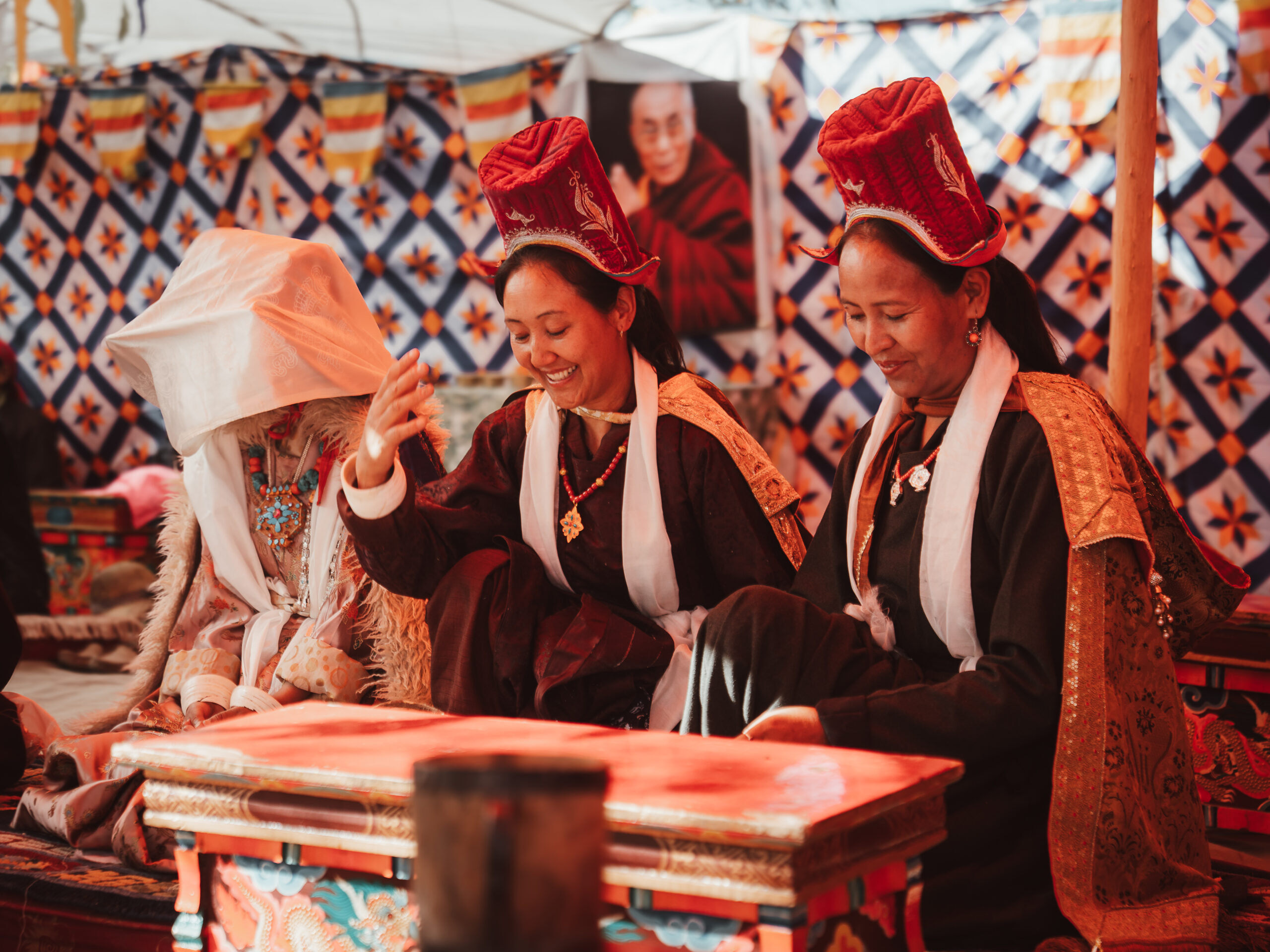
The name “Kyagar” can be traced to the original name of Tegar village, lDeb-dKar, meaning “white plateau”, a reference to its unique landscape. Local folklore also tells of another name, “Ter Gar,” meaning “navel” as a symbolic reference to a demoness in ancient mythology. Whatever the story, there is an absolute consensus: the people of Nubra are renowned for their warmth and hospitality, a trait passed down through generations, and something you will experience during your stay with us.
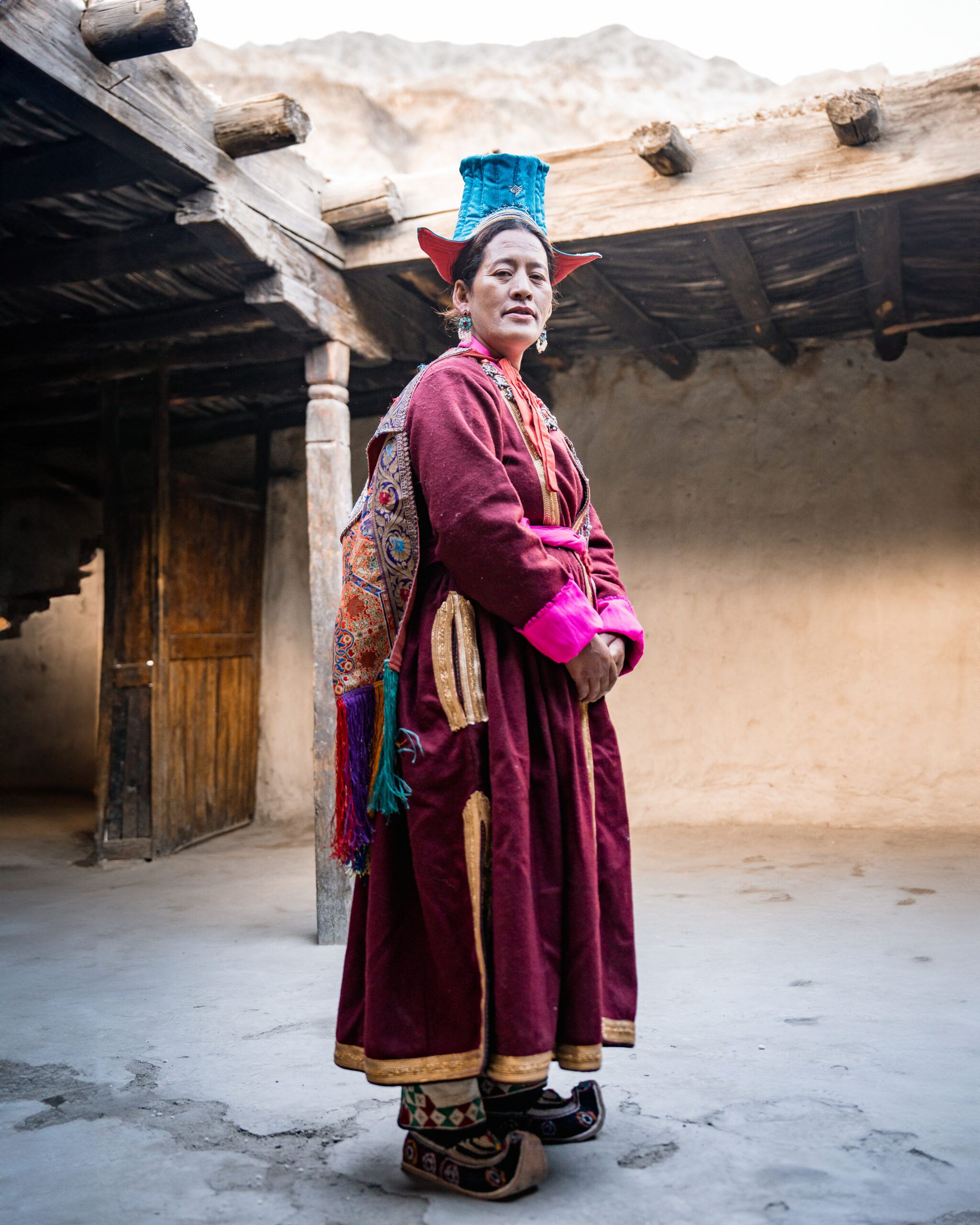
A local woman of Sumur in Nubra Valley, moments before performing an old dance form in their stunning traditional attire for the first time in many years.
<Hospitality, Attire, Wedding? >

Yet, Nubra is not just a land of the past, it is a living, breathing landscape that transforms dramatically with the seasons.

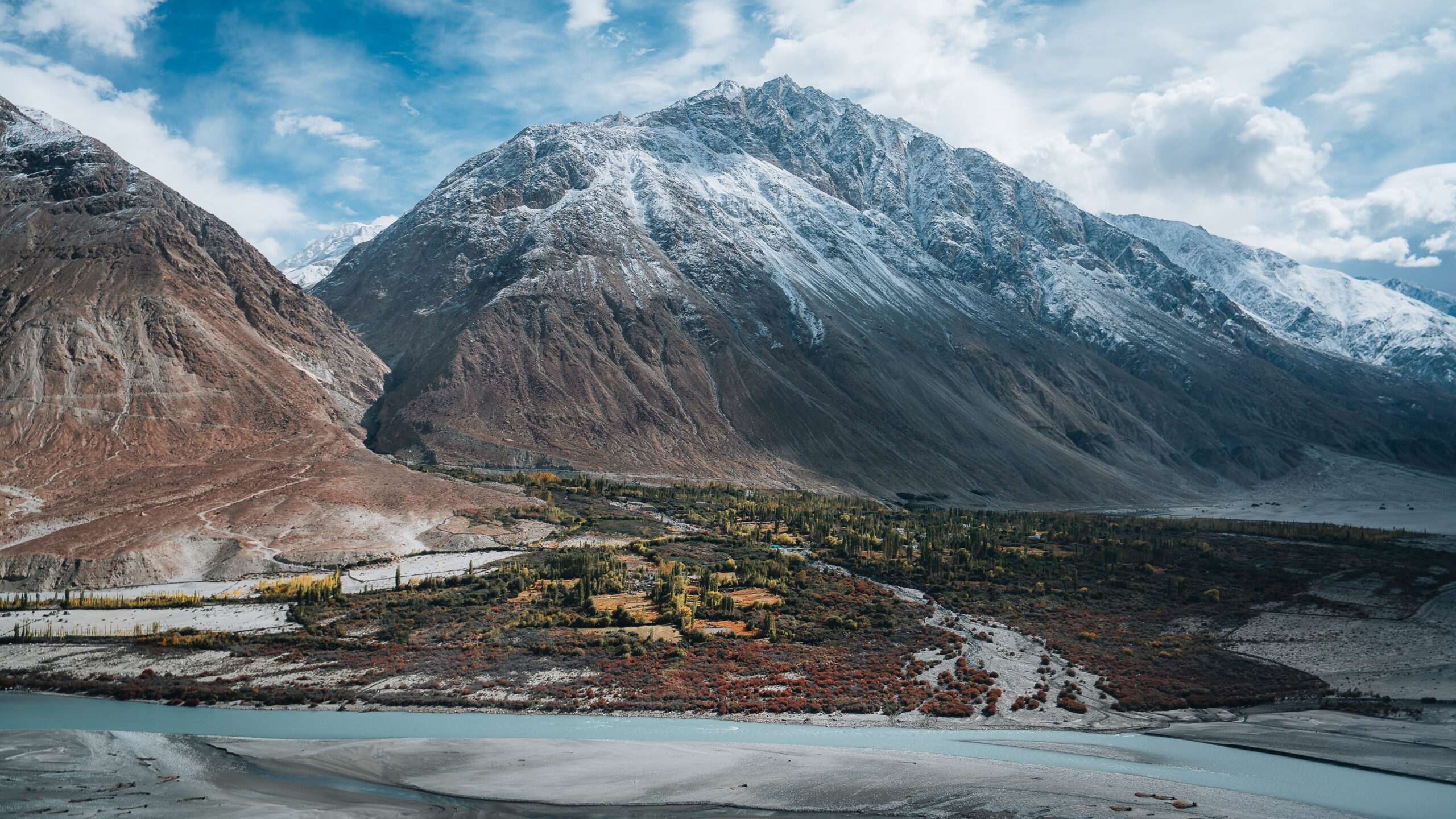
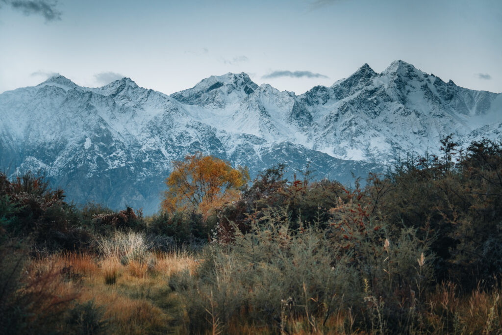
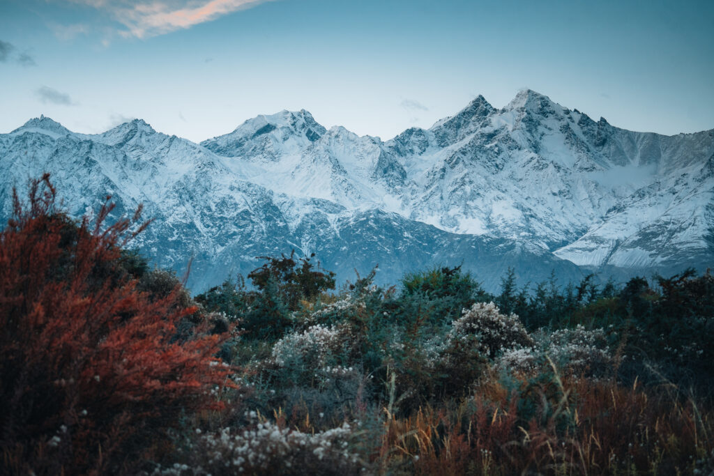
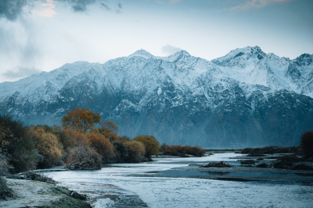
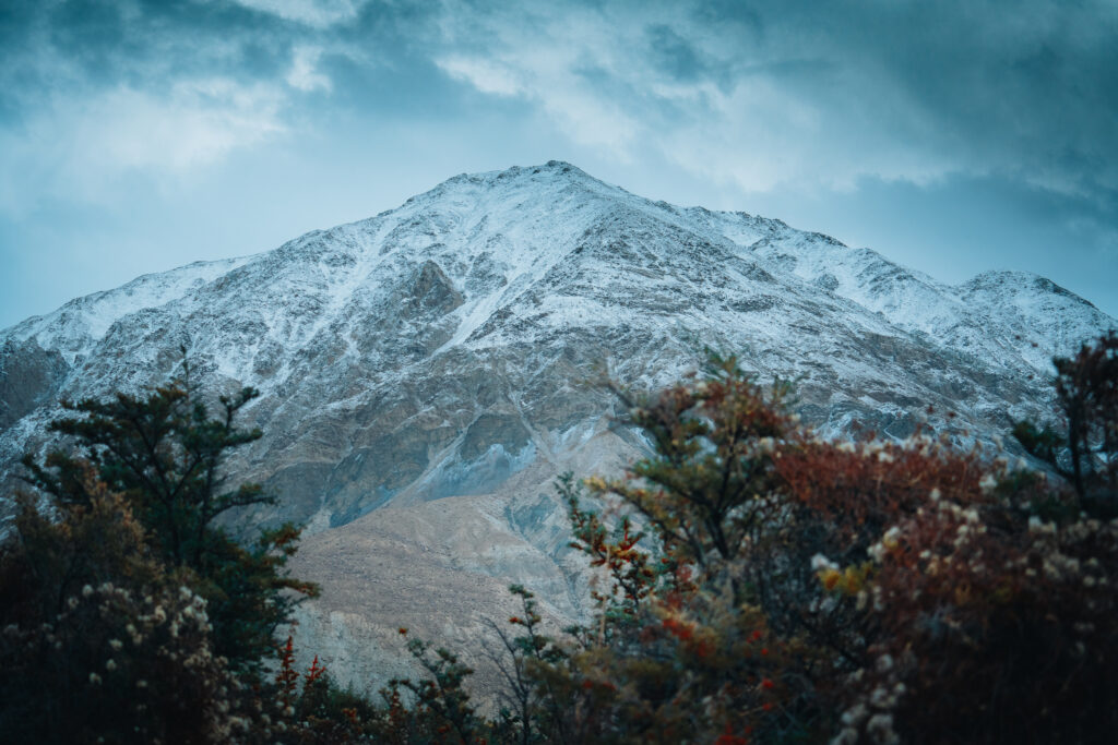
Autumn brings with it the first snow on the mountains. We see the higher mountains wear a new layer of powdery snow, while the foothills display shades of deep browns. Down below, the valley’s green foliage has faded into a palette of rich yellows and burnt reds.
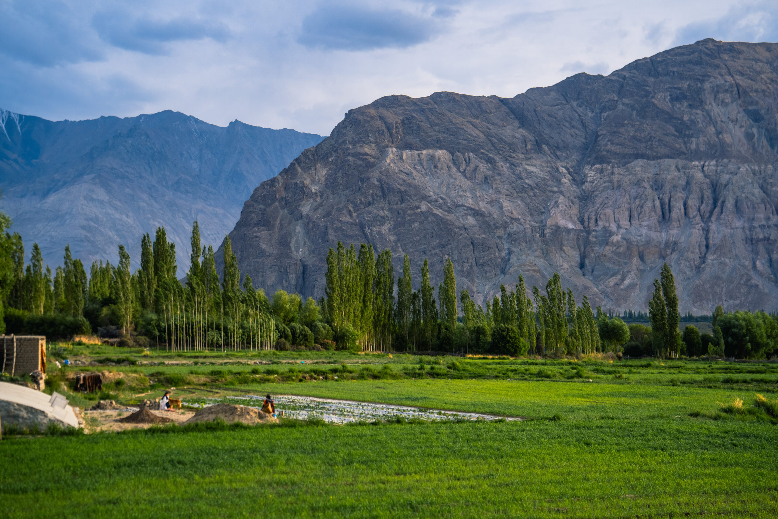
With the sun reaching its zenith during the June solstice, we see the village of Sumur in Nubra Valley bursting with vibrancy that only the height of summer can bring.


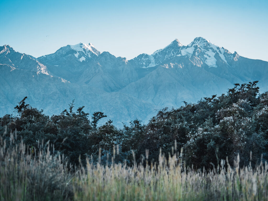
In the warmer summer months, the valley awakens from its winter slumber. Pink ‘Siachen Rose’ bushes and fields of wild lavender stretch across a surreal canvas, while prickly sea buckthorn bushes veil the hamlets by the fall season.
A high-altitude desert nestled between snow-capped peaks
The confluence of the Siachen and Shyok rivers forms Nubra’s dramatic landscape: a high-altitude desert nestled between snow-capped peaks. These rivers have carved out the valley, creating a mix of arid sand dunes and unexpected greenery in the summer months.

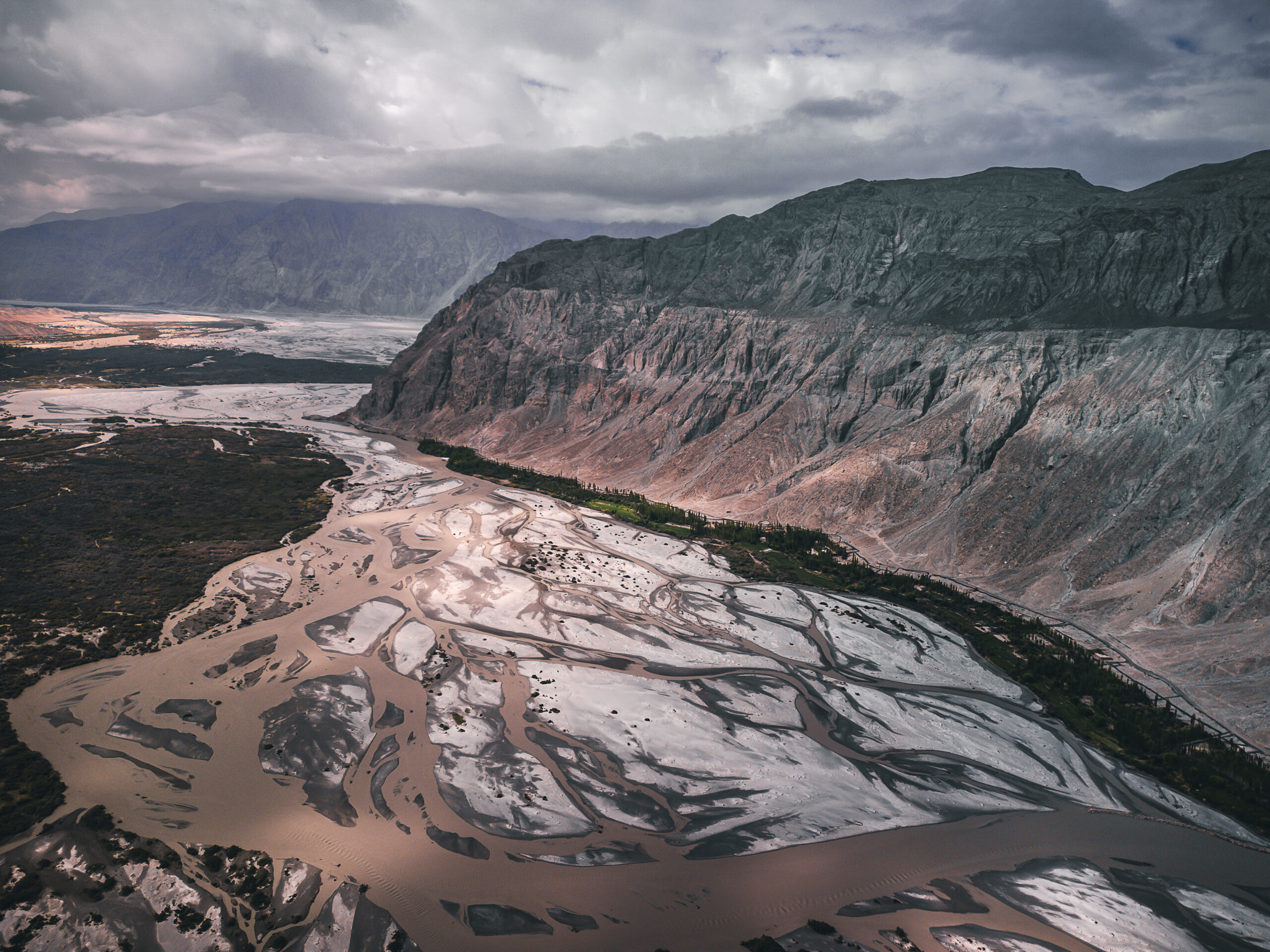
The Saltoro Range is formed by the collision between the Indian Plate and the Eurasian Plate. This collision caused significant vertical uplift, contributing to the height and ruggedness of the range.
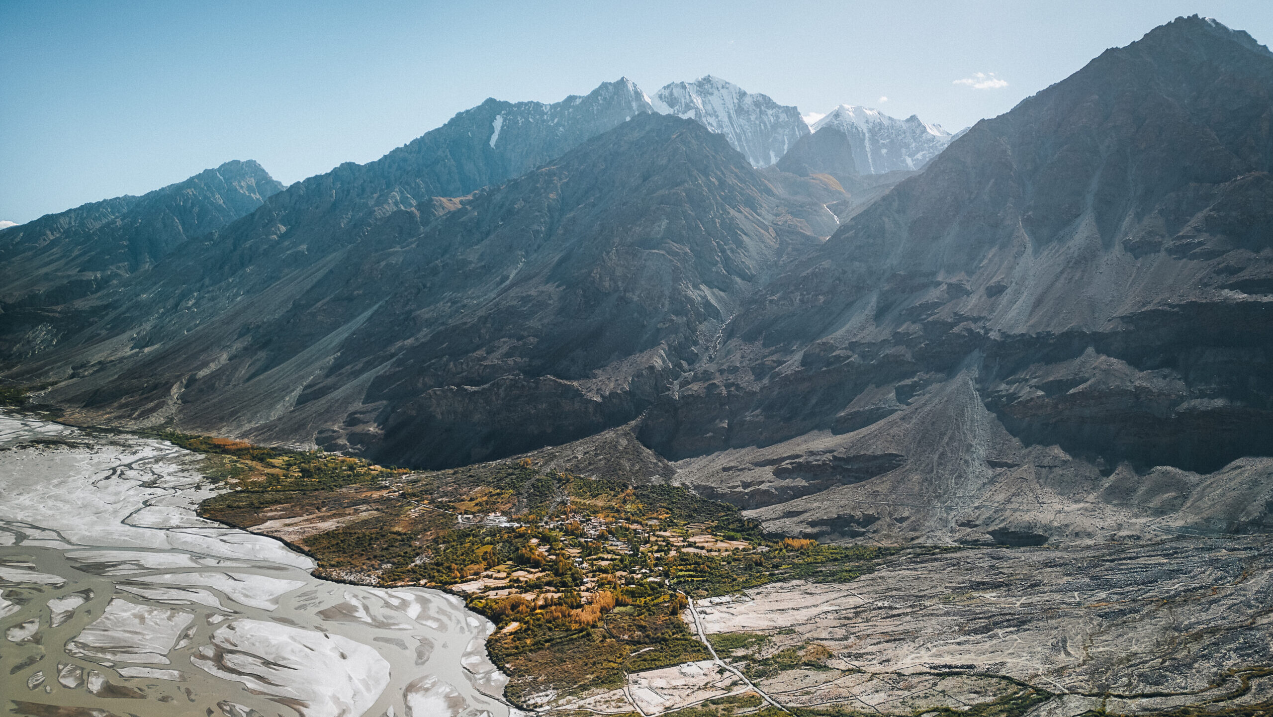
As not too many know, the Indian subcontinent collided into the Eurasian plate in 3 successive stages, resulting in the creation of the Karakoram range, Ladakh Range and the Himalayas.
140 million years ago, in the second collision, the Shyok block collided with what is today Changtang, leading to the disappearance of the Mesotethys Ocean basin.
Today, in the valley between the Lesser Karakoram (Saltoro) and the Karakoram Range, the Siachen River (Nubra River) flows, giving a stunning display of Ladakh’s geological history.


The sand dunes in Sumur, Nubra Valley were formed by a combination of wind, flooding, and the surrounding rocks
Murgi Thrust: Volcanic Sedimentary Layers
As we move northwards alongside the Saltoro range we see this formation is composed of carbonate rocks, sandstones, and mudstones, giving evidence of shallow marine environments and volcanic activity.
This is a significant geological feature called an unconformity. This is where two distinct rock layers meet, representing different periods of geological history.
Today, as one explores Nubra Valley, they take the same paths trodden by ancient traders and explorers. The valley’s ruins, stupas, and petroglyphs serve as silent reminders of its storied past, whispering tales of a bygone era, tales of those who passed through this vital node in the Silk Route.
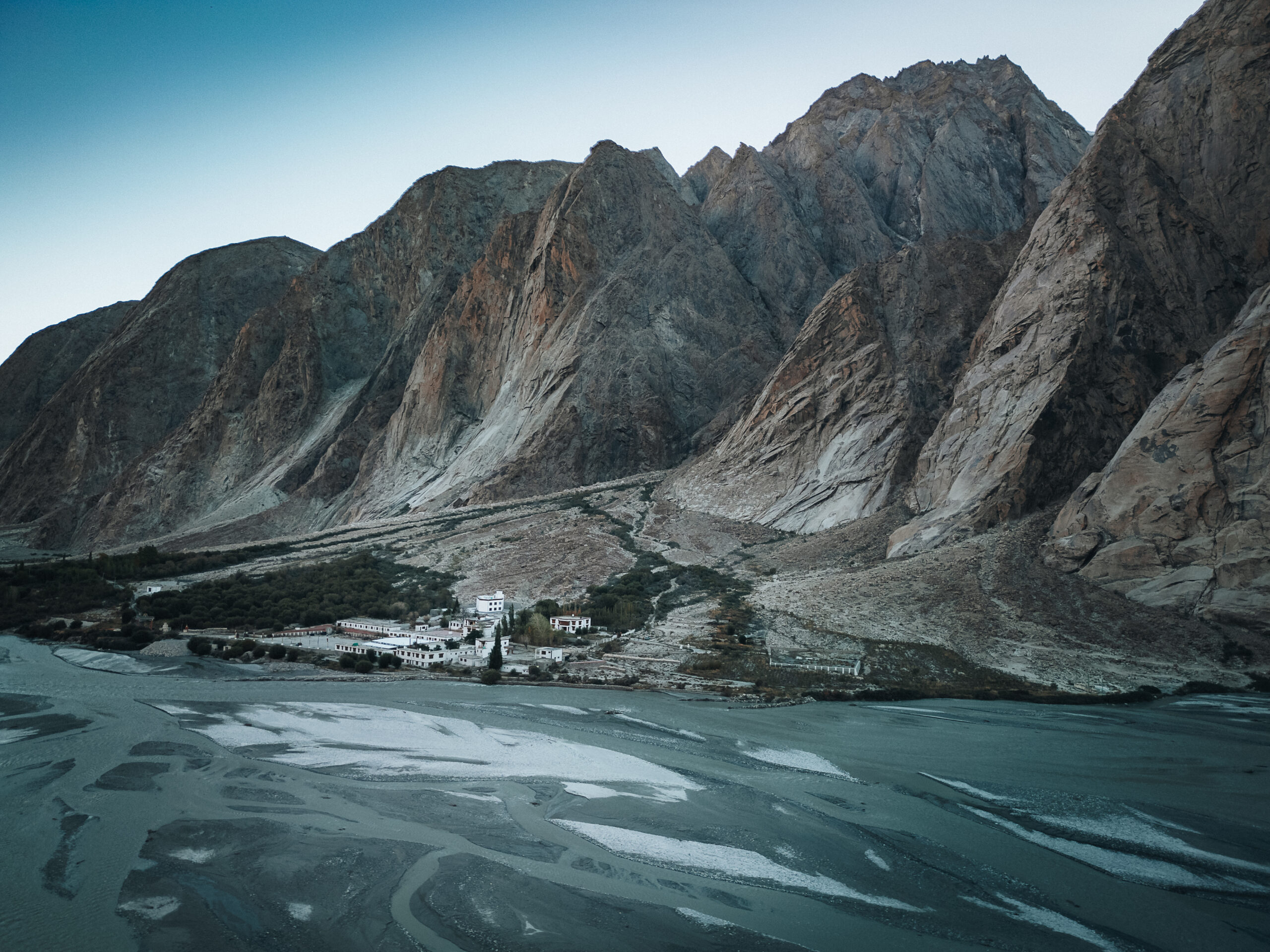
Yarma Gonpo Sits deep in the Siachen valley, where the roads end on the right bank.
One of Ladakh’s most extensively researched regions
Among the first to document its deep historical significance was August Hermann Francke, an archaeological pioneer in Ladakh. In his writings from 1905 and later in 1914, he uncovered numerous archaeological sites, including Murgi Tokpo, Tirisa, and Sasoma, each offering clues to the valley’s Buddhist and pre-Buddhist past. In recent decades, Nubra has become a focal point for scholars, as its ancient fortresses, funerary sites, and rock art have drawn extraordinary academic interest, revealing layers of captivating history.
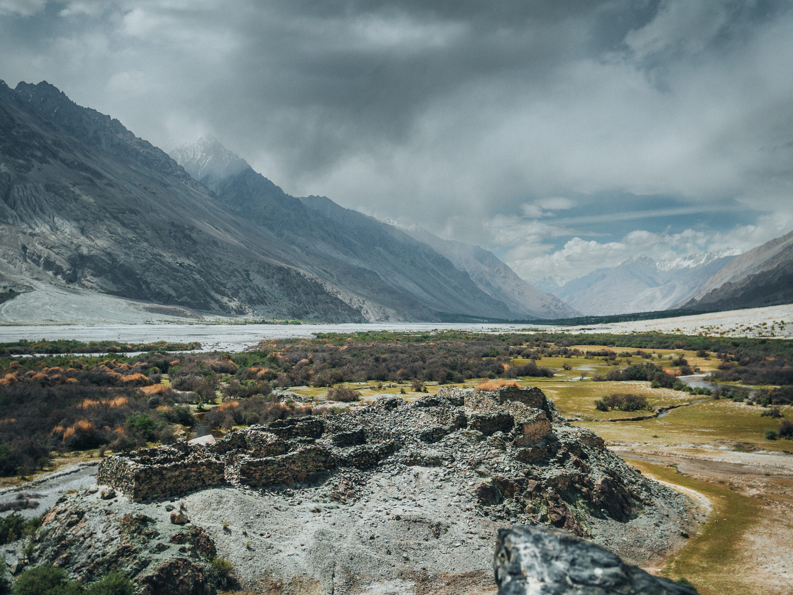
The ruins for a storehouse for soda are situated on the easternmost tip of the formation around the Yarab Tso Lake and Panamik.
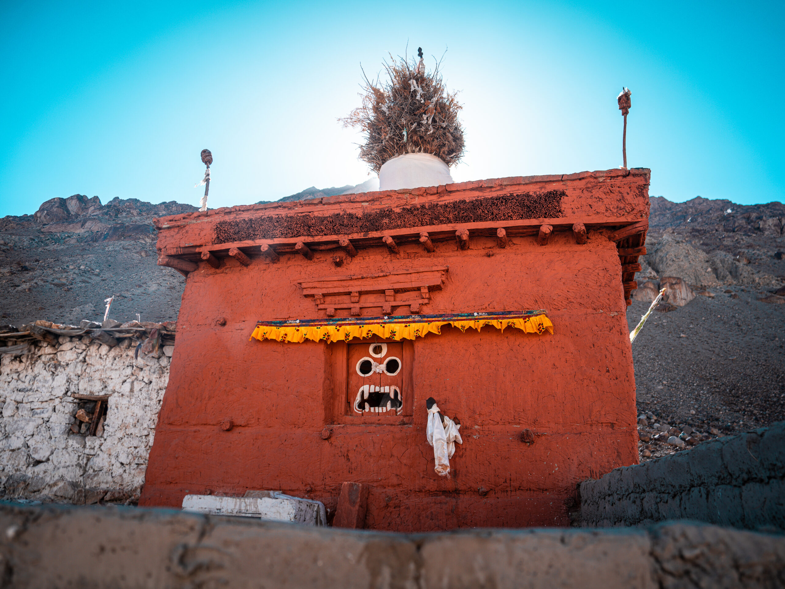
The ancient chortens that dot the slopes and plateaus around the monastery tell stories of centuries past. We learned from a history book how these chortens belong to two distinct periods:
The first group, older and simpler in design, likely predates the 10th century. Their tower-like structure, absent of lion thrones, mirrors the chorten carvings seen in West Ladakh, some of which bear inscriptions in the ancient Brahmi script.
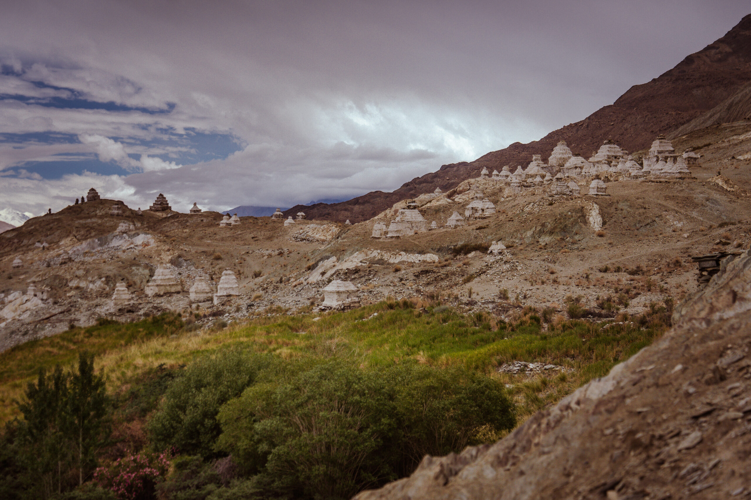
The second group, however, belongs to the West Tibetan Confederation of Ngari Skorsum, built between the 10th and 13th centuries. These chortens, more elaborate with their lion thrones and lotus petal decorations, echo the grandeur of this bygone era. The row of 108 chortens, one of only two in Nubra, is a significant part of Ladakh’s spiritual history.
Our commitment to community-driven education
Our thoughtful explorations of Nubra’s ancient ruins, petroglyphs, and storied landscapes aren’t just about sightseeing, they’re about understanding the deep roots that have shaped not only the valley but global histories. By educating others we ensure that the stories of Nubra are preserved and passed down, inspiring both locals and travellers alike to appreciate the delicate balance of heritage and modern life.
Through our regenerative tourism model we help sustain the land and its people. Through the experiences we offer, we help travellers forge meaningful connections and deepen their understanding of Nubra valley, its timeless history and the community that safeguards it.
